Affiliate Disclaimer: Some of the links below are affiliate links. As an Amazon Associate, I earn from qualifying purchases.
When considering various ways to lower construction costs, contractors may be tempted to cut corners. However, implementing drones can help lower costs and keep workers safe, resulting in a supremely beneficial relationship between contractors and drones.
There are several potential benefits of using drones in construction. Using a drone in construction work allows contractors to safely navigate and map terrain, capture stunning aerial lot photography, and easily analyze properties. A drone can also keep evaluations brief and workers safe.
Let’s explore how drones are used in construction and how they can potentially benefit both contractors and construction workers in seven ways. You may be surprised to find out just how much a drone could do for you and your projects.
How Are Drones Used in Construction?
There are several ways that drones are currently used in construction. Contractors may use drones of all sizes and capabilities to explore tight spaces or grasp “big picture” aerial views. In this way, the use of drones can help inhibit workplace accidents and injuries while also providing unique photographic evidence of completed work.
To put it more succinctly, drones are often used in construction to:
- Lower physical risks to workers
- Allow contractors to take affordable aerial photography
- Help contractors map their lots and properties
- Assist in effective lot management
- Make project updates simpler
- Allow for straightforward site analysis
- Help evaluations go smoothly
There may be other ways that contractors can utilize drones during construction, but the above examples tend to be the most popular uses. One of the most attractive features of owning and using a drone is its cost.
Drones tend to be fantastically affordable, especially when you compare their average price to that of comparable construction equipment. In 2020, the average intermediate-level drone cost between $100 and $400. That’s a relatively small price to pay for consistent, beneficial results.
Reduced Risk to Workers
One of the most notable benefits of using a drone during construction work is the reduced risk to workers. Areas that may have been difficult to navigate or work through can be spotted early-on, allowing contractors to sequester areas for more intensive work. This practice can help keep workers safe from unexpected harm.There are several potential hazards that construction workers contend with daily. In many ways, a worker’s training will help them stay safe while on the job. Understanding proper tool usage and maintenance prevents a good amount of accidents. However, there are some risks that are far more insidious and difficult to detect.
Sinkholes, for example, are a natural phenomenon that can devalue a property and put construction workers at risk. However, sinkholes that haven’t fully developed can be difficult to detect. They may only form after significant weight is placed atop them, which can lead to a dangerous situation for construction workers.
Drones can fly over properties and lots, taking footage as they go. This footage can then be relayed or uploaded, allowing for environmental analysis. Any potential sinkholes or aberrant details can be explored in greater detail, and contractors can deploy their drone once more to investigate troublesome areas.
Common Risks
Construction workers face daily hazards that could cause them serious or grave injury. While most of these dangers can be avoided with proper safety training and gear, there are a few that are a bit more challenging to avoid.
Some of the most noteworthy risks that drones can reduce include:
- Falling from a great height
- Injury due to trench collapse
- Accidental injury resulting from unseen hazards
Sending a drone into an unsecured area before sending workers can help prevent a wide variety of injuries. The same can be said for homes undergoing refurbishment. A property that has fallen into a state of disrepair can be exceptionally dangerous, especially when the home’s building components include asbestos.Contractors looking to refurbish homes that show signs of significant structural damage or have exposed electrical wiring can use a drone to avoid accidental injury. By deploying a drone into a dangerous area, managers can know what dangerous to expect and prepare for.
In this way, drones can make construction projects markedly safer. And the footage you can take for safety reasons can be repurposed for many different tasks. Aerial photography that might have cost you several hundred dollars could be yours for mere pennies with the assistance of a drone.
Affordable Photography
Getting that perfect shot of your project doesn’t have to mean hiring a helicopter or accessing real-time GPS satellite footage. With the help of drones, you can take hundreds of snaps of your property and lot.
Still, it’s vital to remember that not all drones come equipped with cameras. If you’re primarily hoping to use your drone for video footage or photography, you may need to invest in some additional equipment or an advanced-level drone. In fact, you may want to purchase a wide variety of drones.The modern consumer drones come in a variety of types. There are drones designed to keep your pets active and engaged, and drones that are powerful enough to lift a newspaper and carry it indoors. There are also camera drones, which are flightworthy devices specifically designed to capture high-resolution footage or photography.
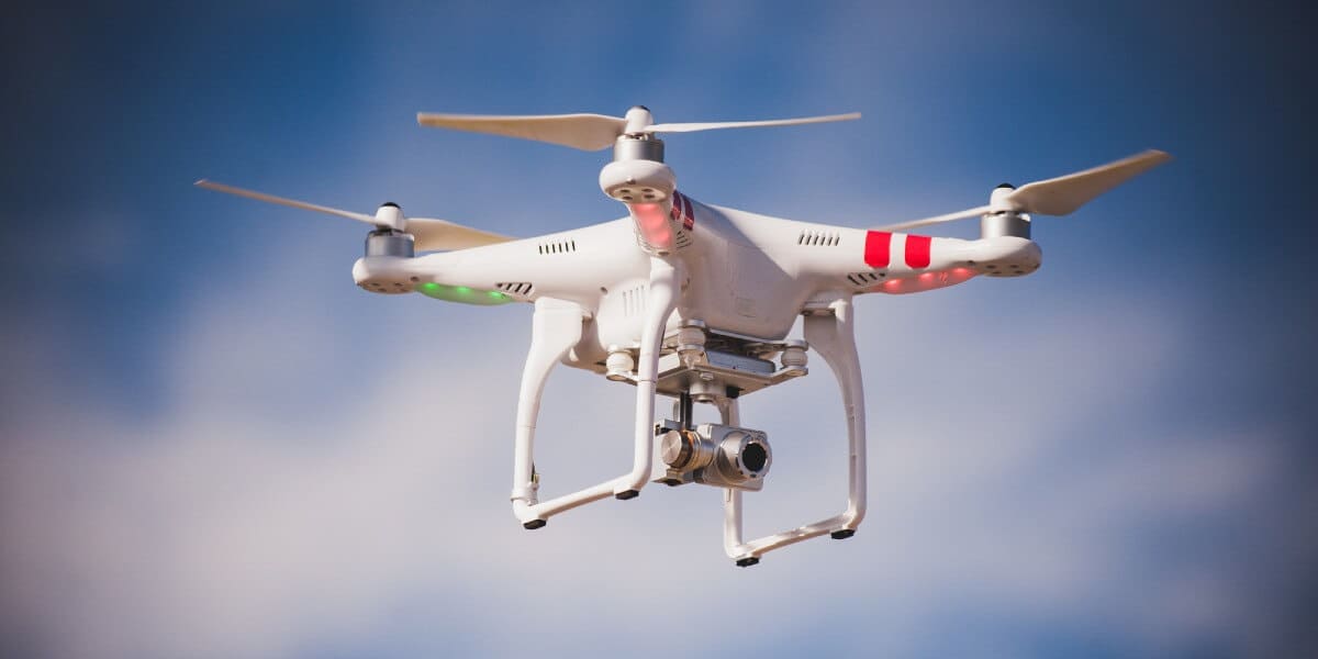
Camera Drones
When the name of the game is photography, a camera drone may be the best option. These handy devices are typically very small and they can be exceptionally fragile. However, size, price, and image quality do vary from drone to drone.
If you’re looking to invest in a small fleet of purpose-driven drones, you’ll need to make some tough decisions concerning a camera drone. That’s because high-quality camera drones can cost anywhere between $500 and $4,000 apiece. The pricier options tend to generate the best-quality images and stand up to falls more readily.
However, if you’re interested in trying out a drone for photography purposes and unwilling to spend several thousand dollars to do so, there are some budget-friendly camera drones that may be worthwhile. These can still capture HD video or photos, but they’re a little easier on the wallet.
The DBPOWER X400W FPV RC Quadcopter Drone is a fantastically affordable camera drone that can help novice operators learn how to get the most of their new photo-friendly device. It comes with a user-friendly remote control that allows nearly anyone to easily pilot the drone. It’s WiFi streaming ability can also make lot mapping and analysis a breeze.
With high-quality photography on your side, you’ll be able to send investors, clients, and evaluators clear aerial shots. These types of photographs allow for others to view nearby amenities while gaining a uniquely scenic view of the lot or property.
As drones continue to advance, their usage in construction is only likely to increase. This is especially true of drones used to help map locations or potential properties. While scanning drones are often used in tandem with 3D printing technologies, they can also be used to scan, record, and map locations or buildings.
Easy Mapping
Nearly any contractor can confirm how challenging site mapping can be. Still, mapping is an essential aspect of any construction job. Not only are terrain maps necessary to ensure that buildings are properly positioned, but they’re also crucial for contractors and clients.
When you’re able to scan and virtually map several acres of land at a single time, you reduce the number of surveyors needed to map the site. Not only does this help diminish costs associated with mapping and surveying, but it also relieves a little pressure from the contractor in terms of hiring.
With a scan-capable drone handy, contractors can hire fewer workers to perform terrain mapping. And with fewer workers walking across potentially hazardous terrain, there’s a reduced chance of accidental injury. Easy mapping may just be a drone away, but contractors will need to be familiar with scanning drones before utilizing their mapping features.
Unfortunately, scanning drones are still being developed and perfected. It is exceptionally challenging to find commercially available scanning drones. However, that doesn’t mean that this type of drone technology is far from reach.
Some of the latest scanning drones are capable of capturing 3D images and scans. This allows contractors and engineers to create virtual, 3D landscapes and buildings. This ensures that all buildings are properly placed and constructed and that the entire property or lot is accounted for.
Scanning Drones
Drones capable of scanning terrain are still relatively new. Some of the earliest models were consciously piloted by humans, but a few of the newer drones are equipped with artificial intelligence technology. This allows them to function without consistent human intervention or interaction.
As this technology continues to progress and become more accessible, it will likely become an affordable alternative to pricey terrain experts or cartographers. However, the scanning drones currently available are relatively costly and difficult to find, primarily due to their commercial and militaristic uses.
Still, construction managers and contractors may only have to wait a few years before taking advantage of scanning drones and their multiple benefits.
Airborne Management
When contractors employ drones, they gain an airborne advantage. Projects that might have otherwise taken hours to survey can be managed in mere minutes. Drones are capable of reaching amazing heights, providing an aerial view of the entire property.
Contractors can deploy drones to keep an eye on workers and various parts of a lot. While this might initially appear to be a form of micromanaging, it doesn’t have to be. Maintaining an aerial view over a project and construction site can help contractors stay current on all progress. While a process chart or document can also help with this, visual confirmation is key.
If you’re managing multiple projects at once, having a drone in the air can help you keep track of your work without missing a beat. And with all of the time you save on calling site managers and coordinating tasks, you might just be able to treat yourself to lunch!
Some of the newest camera drones feature basic artificial intelligence technology. This allows them to take flight and record footage without a pilot. Contractors can benefit from using this seamless tech, especially if they manage large teams of managers and workers.
Imagine being able to check on the status of an entire subdivision without leaving your office. That’s part of the potential bliss of using a camera drone for airborne construction management. Contractors should also be aware of just how many construction management tasks can be accomplished with the help of a drone.
Drones and Construction Management
Contractors don’t typically function as construction managers. Instead, the position of manager is allocated to an employee or a team of employees. Construction managers can work closely with contractors to ensure that all projects are progressing correctly and on-time.
In some cases, a contractor may take on the role of a manager, especially when working with small projects. That’s why it’s essential for contractors to have a basic grasp of the duties of a construction manager. Additionally, contractors should familiarize themselves with the ways in which a drone can help.
For example, drones can help construction managers:
- Visually oversee projects
- Gauge what supplies are necessary
- Ensure that workers comply with safety regulations
Camera drones are the most effective option when attempting to use a drone for construction management tasks. They can capture and process hours of high-quality footage that is easily reviewable. Many entry-level camera drones can also stream live video to a monitor or remote control.
This function allows managers to gain a live view of their sites and implement immediate actions based on their findings. A camera drone’s footage can also help contractors and managers provide quick and efficient project updates.
Efficient Project Updates
Drones allow for consistent and efficient project updates, allowing contractors to keep all parties informed. Consistent updates are not only professional, but they’re also necessary. However, walking around a property and taking hundreds of photographs each day is a time-consuming task that is often more tedious than it is helpful.
That’s why it may be helpful for contractors to invest in a camera drone. Doing so may keep owners, investors, managers, and clients updated on the status of a construction project without too much fuss. After all, if all of your footage is located in one place and on one device, it’ll be far easier to retrieve and disperse.
Additionally, obtaining drone footage requires almost no physical effort. This relieves some pressure from contractors and managers who find themselves constantly walking the lot, taking photographs for project updates.
When it’s time for project updates to get sent out, contractors and managers can use drones to capture immediate footage. Depending on the drone’s exact model and functionality, you may even be able to stream live footage to multiple parties, making updates an absolute breeze.
Drones often have limited WiFi capabilities that allow them to upload footage remotely or on-site. When all parties can quickly and easily check-in and view a contractor’s project footage, there tend to be fewer issues on behalf of owners or clients. Consistent, high-quality updates can help all members of a project feel confident and secure.
Types of Updates
There are several different types of project updates, just as there are several parties that require updates. Primarily, there are three parties that require consistent project updates. These parties are:
- Owners
- Contractors/Construction Managers
- Clients
For example, contractors working on a home will need to keep in contact with the developers and (potentially) the home buyers. If communication among these parties fails, there can be expensive and disastrous consequences. While daily communication may not be necessary among all parties, it is crucial to keep all parties on the same page.
When working on a project, there are typically a few crucial stages of communication. Project updates aren’t necessary or expected until after a project has been approved, but from that moment on, updates are required.
This means that contractors will need to provide footage of their worksite before construction begins, all throughout the project, and immediately upon completion. While this update process might have taken ages in the past, halting the construction process from time to time, a drone makes short work of consistent photographic updates.A drone may also be able to scan and analyze a lot, allowing it to find potential flaws or hazards. This is exceptionally important, especially when considering how a poor location can jeopardize a building’s security and health.
Simplified Lot Analysis
Modern drones are capable of quite a lot, including lot analysis. You can use drones to scan surfaces, generate 3D models, and determine terrain levels and types. This functionality allows contractors to gauge potential hazards, including sinkholes.
While drone scanning is still in its early stages, it is already in widespread use among some of the world’s most sought-after engineers and construction managers. The price for these hi-tech machines is still somewhat high, but the overall benefit of using a drone for lot analysis far outweighs its initial or continued cost.
That’s because drones can save thousands of man-hours in labor. Surveyors that would need to haul heavy and expensive equipment to various lots can now access the same data via drone. Thanks to novel scanning technology and advanced tracking software, drones are now capable of recognizing terrain anomalies.
Strange disturbances or bizarre patterns can indicate the presence of subterranean objects or sinkholes. A drone’s fly-by analysis of a lot could help surveyors and landscapers locate and remedy a wide variety of terrain issues, preventing more expensive repairs or amendments in the future.
There are several terrain features and landscape hazards that could devastate a construction project. Using a drone to help prevent these naturally-occurring issues from becoming massive problems could be one of the smartest moves.
However, contractors may need to wait a little while before being able to purchase a full-functional scanning drone. When they are commercially available, construction managers and contractors alike are bound to enjoy their ability to provide simplified lot analysis.
Lot Features and Hazards
Nearly any terrain can be hazardous. Construction sites are jam-packed with potential terrain dangers, including uneven ground or misplaced construction materials. It can be fantastically easy to trip and fall down while working on a site. When you add natural environmental hazards to this setting, the potential dangers only increase.In addition to some of the most common construction hazards, workers also face lot features and dangers that can go unnoticed without proper lot analysis. While workers aren’t likely to suffer many chemical hazards while performing lot analysis, there are quite a few biological risks present in any outdoor environment.
Exposure to molds, mildews, and allergens of all kinds can lead to serious respiratory distress and dysfunction. An individual that is aware of their sensitivity to respiratory dangers may arrive at a site prepared with personal protective equipment.
But analytical engineers and project developers aren’t completely safe from environmental hazards, even if they are equipped in tons of protective gear. That’s because outdoor areas can pose a wide variety of dangers. Roots, branches, and decaying leaves can pose tripping hazards, and excess sunlight can result in heatstroke.
Cold climates can quickly become unsafe to work in, and humid locations could prove difficult to work in after about an hour or so. Before construction can begin on a site, it needs to be fully analyzed and checked for potential dangers. However, checking for these dangers poses a risk to workers.
That’s why camera drones equipped with scanners are quickly becoming a popular alternative to traditional lot analysis techniques.
Virtual Evaluations
Site evaluations can be time-consuming and intensive, potentially delaying ongoing construction. But with the help of drones, any contractor can enjoy seamless virtual evaluation footage that helps appraisals go smoothly.
While there are hundreds of things that can help raise a property’s value, there are only a handful of ways that contractors can improve a property’s evaluation. Most features of a home or property are fairly set in stone before construction begins.
Minor changes may occur during the building phase, but plans need county approval before being allowed to progress forward. When the building is complete or nearly so, an evaluation (or several) is required. This evaluation ensures that all components of the build are up to code and correct, helping keep contractors, workers, and owners safe from accidental injury or harm.
While the majority of evaluations occur on-site, it is possible to facilitate a virtual evaluation with the help of a drone. A drone that is outfitted with a camera or recording device can go in lieu of an auditor or inspector, especially if distancing is required.
Remotely controlled drones can enter a building, traverse it smoothly, and provide high-quality footage of its interior and exterior. Not only is this remote examination useful for evaluations, but it can also be a boon for appraisals. A virtual appraisal can be just as successful as an on-site one.
As the world continues to adapt and change, future appraisals may occur mostly online through virtual communication. Jumping onto this trend now could save you frustration and help audiences feel more confident about your construction services.
In addition, contractors that work closely with appraisers can rest easy knowing that valuation is only a phone call or Zoom meeting away.
Virtual Appraisals
Any new home requires a fresh appraisal to enter the market and remain competitive. Contractors can provide appraisers with construction documentation and footage to help appraisals go more smoothly. With the help of drones, these additional elements are made simple.
Rather than compiling a massive binder or file on a property, you can digitize your data and keep it organized with spreadsheets, text documents, and other virtual filing programs. This way, contractors can actively participate in appraisals by providing high-quality footage and documentation, and all at the click of a mouse.
Being aware of the things that appraisers look for when working with new construction can help you stay prepared. It’s vital to keep all of your receipts, construction documents, blueprints, and any other paperwork that might help appraisers value the property or lot.
As social distancing continues to pervade the industrial sector, it’s crucial to stay ahead of trends and keep yourself and your workers protected. Virtual appraisals aided by a remotely controlled drone could be the ideal solution for your contracting business and clients.
Conclusion
Drones can provide several potential benefits to contractors and construction workers. Firstly, they reduce safety risks to workers by flying above or into dangerous or difficult areas. Drones can also prove beneficial by mapping properties, taking aerial images, and allowing for quick and easy project updates.
It’s also crucial to remember that a drone could provide simplified lot analysis and virtual evaluations, making it simple to stick to codes and complete a project soundly. Finally, when contractors can view all of their project’s components from the bird’s eye view of a drone, they can take hold of their work and manage more effectively.
Sources
- Amazon: DBPOWER X400W FPV RC Quadcopter Drone
- Construction Management Association of America: What is Construction Management?
- High Speed Training: Ten Common Construction Site Hazards
- Occupational Safety and Health Administration: Worker Safety Series
- ScienceDaily: Drones can now scan terrain and excavations without human intervention